
We log anonymous usage statistics. Please read the privacy information for details.
Call for Papers: Assessment of Intangible Landscape Values for Landscape Planning and Design
Living Special Issue opened: 2022 - CLOSED!
Guest Editors / Edited by:
Irena Niedźwiecka-Filipiak, Wrocław University of Environmental and Life Sciences 0000-0001-9758-7175
ElżbietaRaszeja, University of the Arts in Poznań 0000-0001-8944-3040
Agnieszka Ozimek, Cracow University of Technology 0000-0003-0115-3263
JustynaRubaszek, Wrocław University of Environmental and Life Sciences 0000-0003-3266-9414
MaciejKłopotowski, Bialystok University of Technology 0000-0001-8714-8953
This Special Issue has been initiated by members of SAK (Association of Landscape Architecture – Poland), associated in ELCA (European Landscape Contractors Association) and IFLA EUROPE (European Region of International Federation of Landscape Architects)
We would like to invite contributions for the "Living Special Issue" entitled "Assessment of Intangible Landscape Values for Landscape Planning and Design", aiming at discussing the possibilities of developing coherent systems for assessing non-measurable landscape elements. Contributions are invited to exchange experiences, present and discuss approaches and views reflecting contemporary trends, tendencies and activities in landscape analysis. The invitation is addressed to representatives of various scientific disciplines: landscape architects, landscape ecologists, geographers, architects, urban planners, landscape planners, natural scientists, etc. and all those who are concerned with a beautiful landscape that meets the challenges of today.
We are looking for answers to questions such as:
- How to evaluate intangible landscape values?
- How to combine "human-scale" assessment with "land use and land cover" analyses?
- Is it possible to measure and give value to particular views, and if so in what way?
- Which methods of measuring views can be used to make decisions with regard to new investments?
- How can the results of landscape measurements and assessments of intangible values be communicated so that its value is appreciated by non-professionals?
- How the aesthetic values of historic landscapes influence their contemporary design?
- What is the relationship between landscape value measurements and the creative intuition of a landscape architect?
- What indicators should be used to influence the creation of new resilient landscapes?
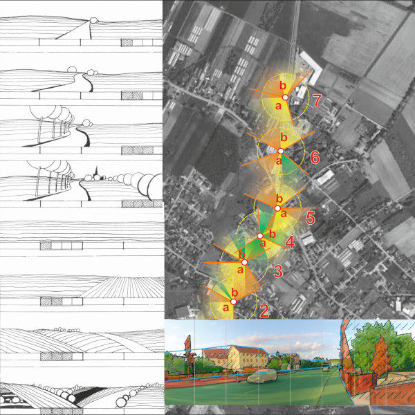
One of the important objectives of landscape research is to observe phenomena and trends occurring in the landscape. This is the basis for its proper planning, design and management, as well as shaping "landscape policies". The methods, tools as well as approach to assessment depend on scientific disciplines that deal with these issues. It can be assumed that in research work, landscape assessment is carried out in two main ways. The first concerns "land use and land cover" measurements, where remote sensing and GIS software are of great importance. Landscape assessment takes place in this respect on maps, in the quantitative, sometimes qualitative context concerning connectivity, continuity, and multifunctionality of e.g. greenery elements in the landscape. In the second trend, the research is carried out from a human perspective and belongs to the group of "human-scale" studies, and photographs, films, visibility maps and graphs are used to measure and evaluate the landscape. In this case as well, the development of technology has contributed to an increase in quantitative research, while qualitative research is most often based on various types of surveys conducted in different groups of respondents. In this case also thanks to the development of digital algorithms, including artificial intelligence, attempts are made to analyze photographic images. The current challenge in landscape assessments is to combine the "land use and land cover" analyses with the study of human scale views and the creation of coherent systems for assessing intangible landscape elements. It is also very important to define how to incorporate the visual and intangible values into landscape planning and design. This is not easy, because only the correct conclusions from the measurements carried out, and perhaps above all from the measurements in the third dimension, can give the possibility of adequate protection of the already existing valuable landscapes, but also the creation of new ones. Therefore, these assessments should be rather uniform, legible, giving the possibility of comparison and evaluation. The manuscripts are expected to be submitted during winter 2022/23 to start peer-review process.
The manuscripts are expected to be submitted during winter 2022/23 to start peer-review process. If authors want their manuscript considered for this special issues please mention during the submission process in the cover letter using the text field Comments for the Editor.
